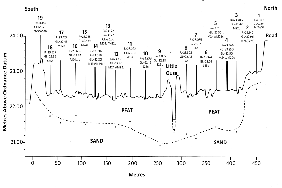
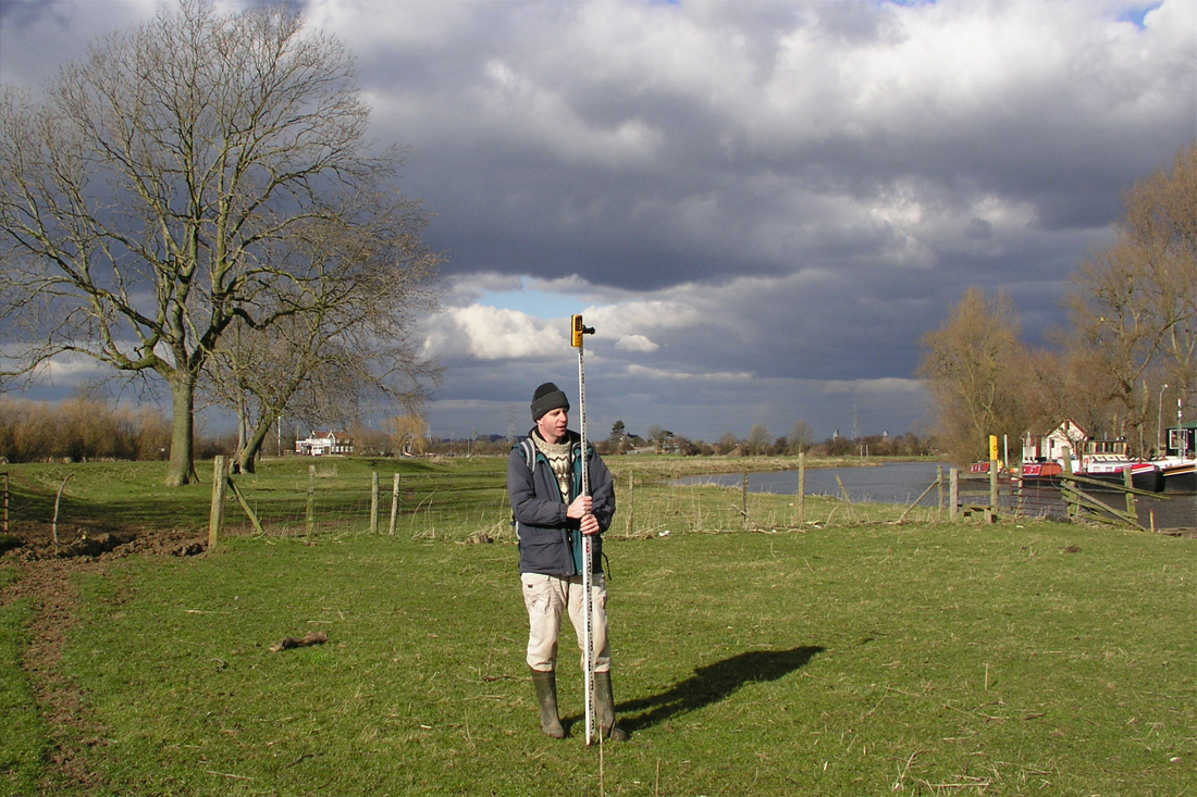
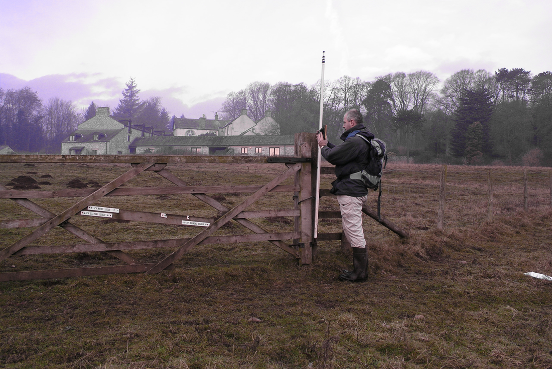
Topographical SurveyUsing both digital equipment and optical laser levelling, we undertake all forms of topographic levelling. This includes broadscale surveys of large areas of land or intensive small scale surveys with high density of levels. We can also undertake levelling of infrastructure and water levels.
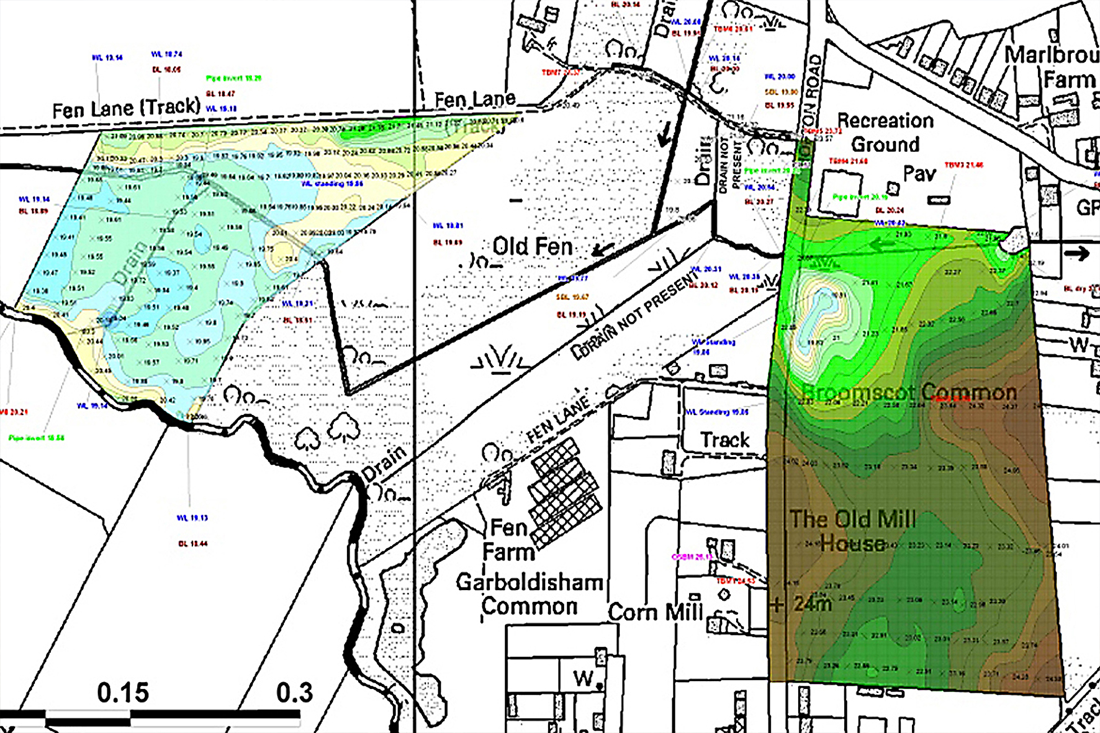
We undertake stand-alone surveys, or as part of design development (see Wildlife and Habitat, Water and Project Management). Levelling data can be supplied in all formats including GIS, printed maps and digital files. For examples of this kind of work, please see Projects. |
|